Hernia Remains One of the Most Common Surgical Conditions in the United States KONK Life Editor, July 16, 2026
Heavy smoke from wildfires blankets the US Midwest and Northeast, prompting evacuations KONK Life Editor, July 16, 2026
JUST A FEW FRIENDS BRINGS JIMMY BUFFETT’S SHRIMP BOAT SOUND STUDIO TO LIFE THROUGH MUSIC, STORYTELLING AND HISTORY KONK Life Editor, July 15, 2026
Driver Sentenced for DUI and Leaving the Scene of a Crash Involving Property Damage KONK Life Editor, July 15, 2026
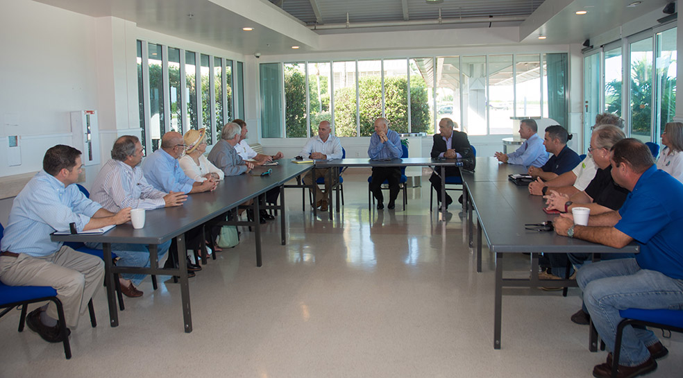
Community News Upper and Middle Keys Under Tropical Storm Watch SHARE ON: KONK Life Editor — October 5, 2016 Upper and Middle Keys Under Tropical Storm Watch MARATHON – The National Hurricane Center has issuAlready a subscriber? log in. This story is free for you Create a free account and get more of KonkLife's top stories directly to your inbox. Email Password Or, subscribe for unlimited access
Leadership Monroe County Class XXXIV Recruitment Opens with Summer Socials July 21-23 KONK Life Editor, July 13, 2026


No Comment