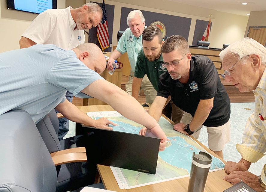
FEMA Coastal Draft Maps now available to view on Monroe County website
MONROE COUNTY, FL – The Federal Emergency Management Agency (FEMA) multi-year study of Monroe County’s coastal flood risks has reached its next step with the release of the new DRAFT Coastal Flood Maps to County staff yesterday. The County has made the DRAFT maps available to view at www.monroecounty-fl.gov/floodmaps so property owners can see potential changes to their flood zone. FEMA has stressed that these are DRAFT flood maps.
The public can email comments on draft maps to [email protected]. County staff will be documenting these comments and providing them informally to FEMA.
The County has hired a consultant to analyze how flood risks are changing in Unincorporated Monroe County based on the provided studies using updated information and the best available science and technology. After draft maps are reviewed by county staff, PRELIMINARY maps will be issued, which the public will then have an opportunity to comment on officially through Community meetings.
When preliminary maps are published, formal public comments or appeals of the preliminary maps can then be provided to FEMA by local governments like the County, or the municipalities. Once FEMA completes the review of all comments and appeals, they will publish the final Flood Insurance Rate Maps (FIRMs).
Coastal Flood Maps, otherwise known as Flood Insurance Rate Maps (FIRMs) are used to determine the minimum elevation needed for construction to reduce the chances of flooding, as well as construction methods required in certain zones.
“While the flood maps we received are drafts, we believe that property owners should be able to see how their risks might change,” said Christine Hurley, Monroe County Assistant County Administrator. “That way they can be more proactive in reducing their flood risk, whether that means building higher if they are planning on making improvements to their property or buying flood insurance now to reduce any potential insurance cost increases.”
To emphasize that flood risks are changing and to make sure property owners understand this is coming, Hurley said permit applicants will sign a form on the County’s permit application indicating they know the maps will be changing. This is intended to help homeowners understand that what they might be proposing to build today, under the existing flood maps, could become non-conforming after the maps are changed, thereby making their flood risk and insurance costs greater. It could help them think about designing their improvements to meet the proposed, draft maps to assure they are addressing potential future risk.
The technical consultant will also be reviewing the maps and modeling conducted by FEMA and is prepared to appeal any of the maps that do not appear to be correct.
The FINAL flood maps (FIRMs) will most likely become effective sometime in 2021-2022. When that happens, the county will formally adopt the maps by ordinance and the maps will be used when reviewing permits and the final maps will establish what a finished floor elevation needs to be and determine building and site design requirements to reduce future risk of flooding. Further, new lender requirements may go into effect, as will any changes in flood insurance rates that result from the map changes.
The following diagram shows the tentative process timeline for the Draft Maps, Preliminary Maps, and Final Maps:
For more information about the mapping process, email [email protected] or call 305-453-8759. To learn more about flood insurance, talk to your insurance agent or visit FloodSmart.gov.
[livemarket market_name="KONK Life LiveMarket" limit=3 category=“” show_signup=0 show_more=0]


No Comment