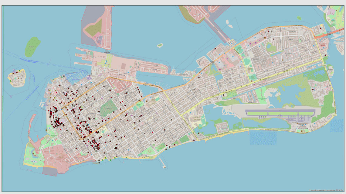
Transient Rentals and Other GIS Maps on Website
The City of Key West’s website is full of fabulous maps that let the community do everything from track transient rental units to see what roadwork is in the pipeline. There is even a map that allows you to research who is buried in a particular plot at the Key West Cemetery.
Just go to www.cityofkeywest-fl.gov and click on the drop down menu of City Departments. There you’ll see a link for the Geographic Information (GIS) Systems.
The latest addition to this valuable site are maps showing the location of legal transient rentals and a map of rental units.
Transient rentals are defined as any unit group of units, dwelling, building, or group of buildings within a single complex of buildings rented for a period or periods of less than 30 days or one calendar month, or is advertised as a place rented to transients, regardless of the occurrence of an actual rental. Currently there are 850 of these licenses.
Non-transient rentals are defined as any unit, group of units, dwelling, building, or group of buildings within a single complex of buildings that are rented for a period of more than 30 days or one calendar month or is advertised as a place rented for more than 30 days or one calendar month, regardless of the occurrence of an actual rental. There are currently 2,508 of these licenses.
The transient rental map is a good tool for resident who wonder whether a house that seems to be renting for less than a month is a legally licensed transient rental.
If you find that the location is not legal, you are urged to call Code Compliance at 305-809-3737.


No Comment